Public Safety and Fire Prevention are top priorities.
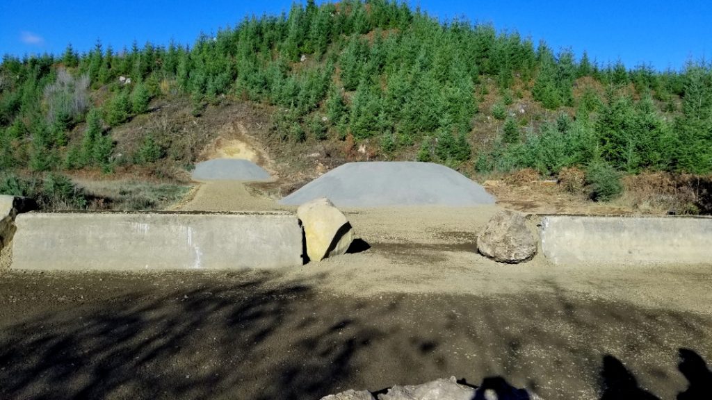
North Fork Wolf Creek, Rifle & Pistol Lane 3
Lessen conflicts with other recreation groups
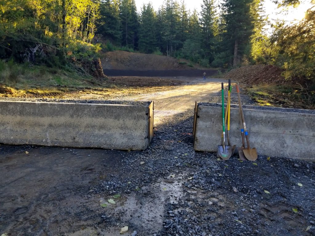
Santiam State Forest, BC 615 Quarry
User friendly and attractive.
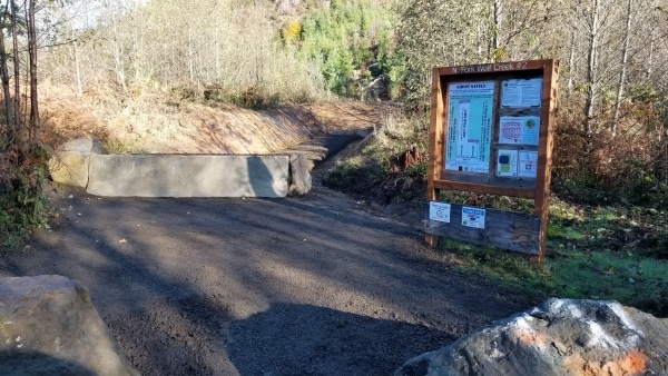
North Fork Wolf Creek, Pistol Lane 2
Easy to clean up.
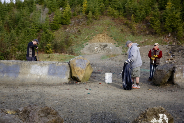
Clean up is required on all public lands.
Trash No Land offers assistance to forest agencies with improving dispersed target shooting locations on public lands. We offer ideas and suggestions for public safety, fire prevention and improvements from a target shooters perspective. The end result is to provide a place where target practice can be done as safely as possible, however, as with any dispersed shooting location and activity, each user is responsible for their own personal safety, public safety, actions and choices.
Improvements can happen at places that are currently being used for recreational target practice. Some locations, however, may not be suitable for improvements due to public safety, fire potential, other recreational conflicts, potential damage to natural resources and/or proximity to sensitive environmental concerns. If a site does not meet all of the requirements for a good place to shoot, it may be recommended for closing.
Many considerations are needed when choosing a good place to improve. By mapping, evaluation of existing dispersed shooting locations and feature ratings, we are able to focus on the places that could meet the required criteria with minimal effort and cost.
Through numerous meetings, site visits, designs and perspectives from a target shooters point of view, we bring viable solutions to the concerns at hand. This is the result of our efforts.
Current Situation
Target shooting has been a long standing activity on public lands that has been steadily growing in-terms of participant use levels and the number of dispersed target shooting locations. It is taking place across the forest in ways that create:
-
Unsafe situations for visitors, forest employees and contractors working on the forest,
-
Conflict with other visitors to the forest,
-
Environmental impacts,
-
Sanitation concerns,
-
Increased fire potential and increased fire starts,
-
Additional costs to the agency.
Policies and management strategies have not kept pace with the intensity, scope and scale of the target shooting activity.
Conceptual End in Mind
Recreational target shooting has a long history on public lands and is a supported use that integrates well with the other activities. Improved dispersed shooting locations offer solutions, features and benefits over the current situation. Including:
-
Improved public and personal safety,
-
Improved sanitation,
-
Low impact to environmental issues,
-
Reduced fire hazard risks and costs,
-
Partners and partnerships that value quality recreation and support the activity,
-
Sustainable opportunities for dispersed recreational target shooting.
The improvements propose to develop a strategy, partner and collaborate with forest agencies, and involve the target shooting community in ownership and stewardship. The end result is to:
-
Resolve the safety, sanitation, and environmental issues.
-
Reduce the fire potential associated with target shooting.
-
Develop public ownership and involvement in the development and implementation of the strategy.
-
Maintain safe and sustainable opportunities for recreational target shooting on our public lands.
Tillamook State Forest, North Fork Wolf Creek Rd, improved shooting sites.
Google Maps: https://goo.gl/maps/hfZbKnuxpqx
GPS: 45.783021, -123.365054
Goal: To prevent wildfires that could occur from target shooting, enhance public safety and lessen conflicts with others.
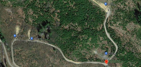
Google Maps view all 4 lanes.
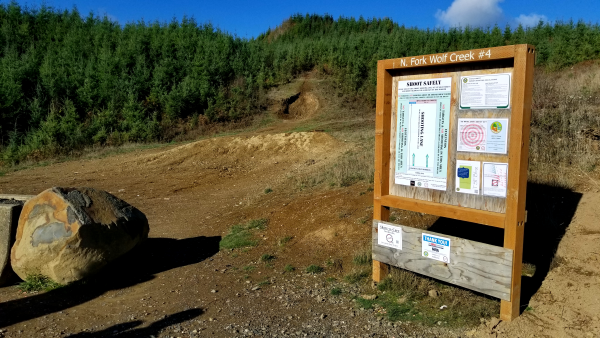
Lane 4 needs upgraded improvements.
Four shooting lanes. Lane 1 is a 24 yard pistol range. Lane 2 is 28 yards, Lane 3 is a 60 yard rifle range with a 16 yard pistol berm. Lane 4 is 80 yards for rifle. Original design, in 2016, was simple dirt backstop berms and flat dirt lanes. In 2018, lanes 2 & 3 were upgraded with gravel lanes and impact gravel added to the berms. Improvements to lanes 1 & 4 are currently planned.
The lanes are open to the public 7 days/week, sunup to sundown, no fees, no facilities and no personnel on duty. Sites are cared for by each user. Clean up and removal of everything brought to the site is required.
Santiam State Forest, BC615 Pit improved shooting site.
Google Maps: https://goo.gl/maps/1ns1U3zqM7RcLbqp9
GPS: 44.928303, -122.489314
Goal: To address the concerns of conflicts occurring between target shooting and other types of recreational activities.
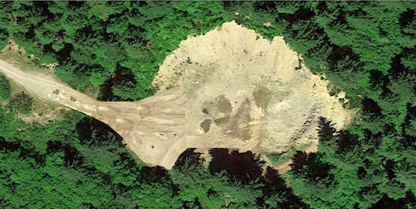
Google Earth view of the BC615 Quarry site.
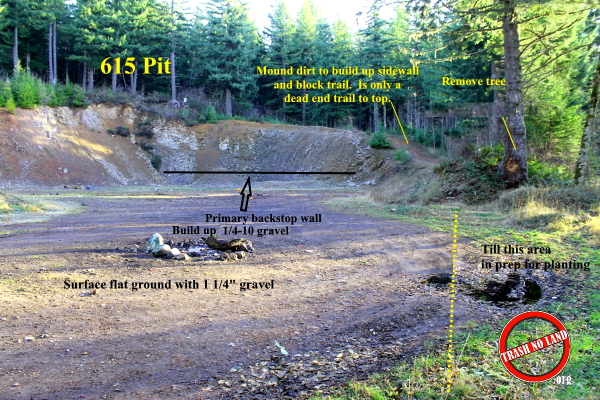
BC615 Quarry proposed improvements.
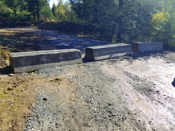
BC615 Quarry, Established Firing Line
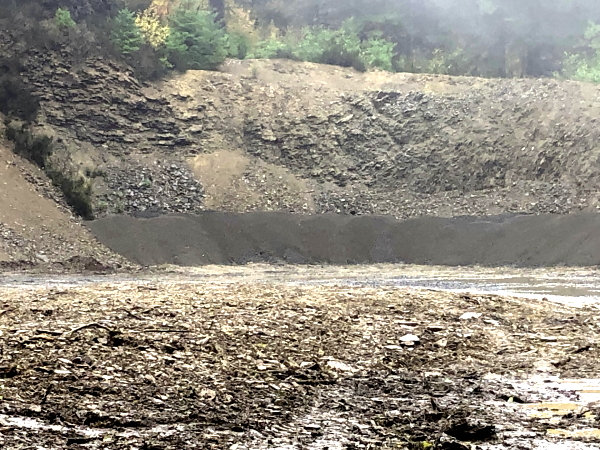
BC615 Quarry, Primary Backstop Berm, 12 ft high, 1/4-#10 Gravel
Improvements completed October, 2020.
One, 105 – 115 yard lane with options for tactical maneuvers.
Open to the public 7 days/week, sunup to sundown, no fees, no facilities and no personnel on duty. Sites are cared for by each user. Clean up and removal of everything brought to the site is required by law.
